
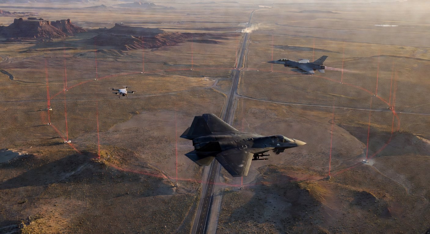
Coordinating Drones and Counter-UAS in Shared Airspace
Pilots, listen up. While we’re out ripping gates or getting those epic cinematic shots, the big players—the FAA and the Department of War (DoW)—are grappling with how to keep the skies safe around airports, military bases, and critical infrastructure. This isn’t just about catching rogue drones anymore; it’s about integrating legitimate drone traffic, including our own FPV quads, with manned aircraft and the counter-UAS (C-UAS) systems designed to knock down threats. At AUVSI XPONENTIAL 2026 in Detroit, a panel spilled the beans on ongoing efforts to coordinate unmanned traffic management (UTM) alongside traditional air traffic, a crucial step for the future of our hobby and commercial drone operations.
For years, the chatter has been about C-UAS tech, but the real talk now is about coexistence. Imagine trying to fly your long-range quad for an inspection near an airport, only for a C-UAS system to get confused. The challenge isn’t just detection; it’s discerning authorized drones from threats and ensuring everyone plays nice in the same airspace. It’s like managing vehicle traffic on a military base – delivery trucks and contractors sharing roads with military convoys. The question for the agencies is how to scale this concept to the skies, allowing commercial drones, military UAVs, and even C-UAS systems to operate without creating safety or security conflicts. This is what’s being hashed out right now.
DoD’s Shift to Automated Drone Deconfliction
John Sawyer from Modern Technology Solutions, representing the Department of War, laid out their strategy. Initially, the DoW rolled out its own UTM to manage drone flights around military installations. This has since matured into the Federal USS, a comprehensive integration platform that combines both UTM functions and C-UAS capabilities. The push is to move beyond the old-school, fragmented methods – think endless emails and manual approvals for every flight – towards automated strategic deconfliction. This means shared operational intent and active telemetry, paving the way for faster, automated approvals for authorized flights near sensitive military zones. This shift from manual to automated processes is huge for scalable drone operations.
Sawyer detailed the ‘Collaborative Low-Altitude UAS Aircraft System Integration Effort,’ or CLUE, which he described as a “system of systems.” This isn’t just one piece of software; it’s a networked approach bringing together ATC tower operations, base operators, general drone traffic management, and specific C-UAS defense modules. The complexity isn’t trivial, especially for military installations that face a ‘double integration problem.’ They’re not only integrating drones with their own manned aircraft but also trying to integrate their restricted military airspace with the surrounding civil airspace, where our quads often fly. It’s a multi-layered headache they’re trying to iron out.
FAA Focuses on NAS Safety and Interoperability Standards
While military base integration isn’t directly analogous to civil airports, the FAA is tight with the DoW and other federal security outfits, cross-pollinating lessons learned from joint test events. Paul Strande of the FAA UAS Integration Office emphasized their core mandate: maintaining the safety of the National Airspace System (NAS). This includes rigorously testing C-UAS detection and mitigation systems to understand precisely how they affect legitimate aircraft, both manned and unmanned, operating nearby. We’re talking about making sure a C-UAS doesn’t accidentally jam a legit drone’s control link or disrupt critical aviation navigation signals, which would be a huge problem for everyone in the air.
The recurring theme from the panel, especially from Jessica Brightman of the FAA, was the absolute necessity of interoperability. It’s a positive sign that military systems are aligning with the UTM standards already being developed for civil operations. This means machines can “talk” to each other, sharing data in compatible ways, which is crucial for preventing conflicts. We need systems that can accurately identify our ELRS or Crossfire control links and distinguish them from threats, rather than just blasting everything out of the sky. This standardized data sharing is key to a future where our quads don’t get accidentally swatted.
However, despite this push for unified standards, significant hurdles remain. Questions around data access, securely sharing operational intent, and protecting classified information are complex, given the vastly different security requirements of civil versus military operations. Still, the panel made it clear that cooperation between agencies is accelerating. The broader goal isn’t simply building isolated drone corridors or defense systems, but crafting a comprehensive operational framework where authorized drone operations – including those pushing the boundaries of FPV technology – can safely coexist with airports, military installations, and manned aviation. This effort is critical for every FPV pilot. It dictates where we can fly, how permits might evolve, and ultimately, the freedom we have in the skies. It’s about ensuring our craft aren’t mistakenly flagged and that our hobby has a clear, safe path forward within increasingly monitored airspace.
Quick Facts
- •💡 FAA and DoD are collaborating on integrating authorized drone traffic with C-UAS systems and manned aviation near sensitive airspace.
- •💡 The DoD’s Federal USS platform combines UTM and C-UAS functions, evolving from manual coordination to automated strategic deconfliction.
- •💡 This initiative means FPV pilots might see automated approval systems for flights near restricted zones, potentially simplifying current manual processes.
- •💡 The CLUE (Collaborative Low-Altitude UAS Aircraft System Integration Effort) is a “system of systems” integrating ATC, base operators, drone traffic, and C-UAS defense modules to solve a “double integration problem.”
- •💡 Interoperability between military and civil UTM standards is critical for safe coexistence, shaping future flight zones and operational procedures for all drone pilots.